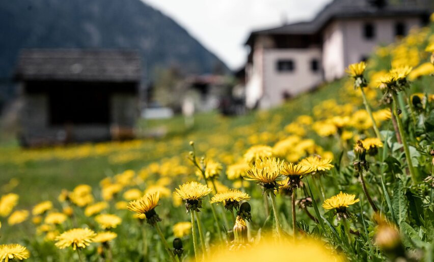
Val di Non and Val di Sole celebrate apple trees in full blossom
A footrace amidst blossoming apple orchards, breathtaking panoramas, and romantic castles
Two weekends full of activities and workshops to discover all the secrets of these particular mountain herbs
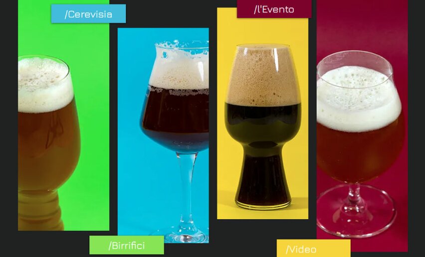
Craft Beer Festival: meetings, tastings, roundtable discussions, workshops to better understand beer and its world

Street artists, comedic brass bands, circus performers, marching bands, and of course... plenty of good food, including street food

Downhill, Four-Cross & Cross-Country: mountain biking is back in Val di Sole
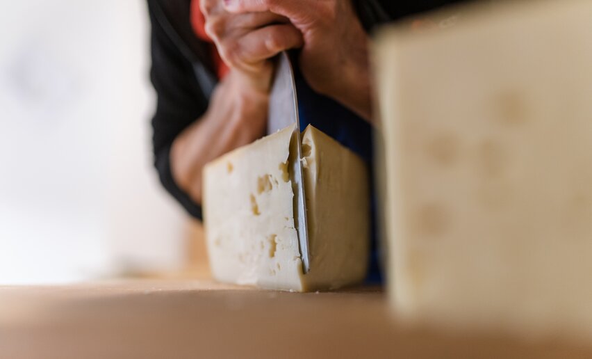
A tasting of exquisite cheeses paired with wines and local products.
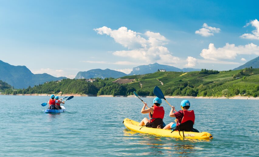
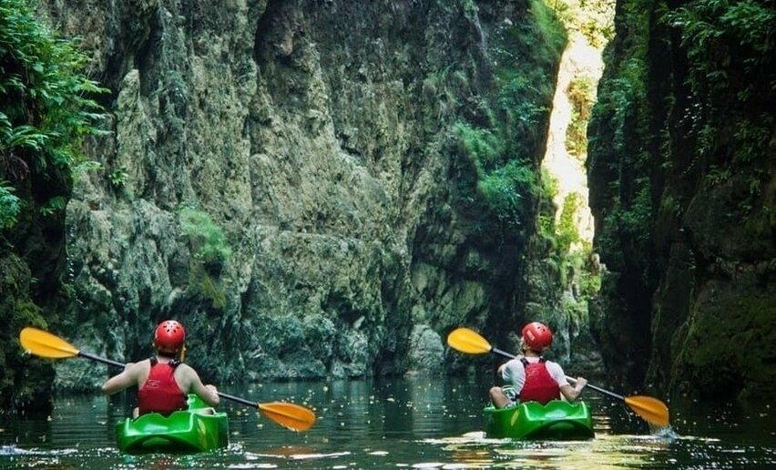
Canoe excursion at the foot of Castel Cles to the fascinating Novella Gorges
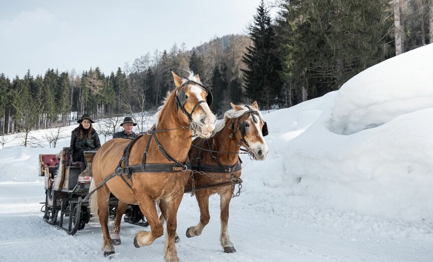
In a horse-drawn sleigh towards a tasty destination